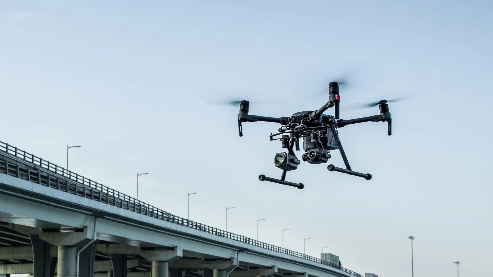
The world of project planning and inspection is evolving rapidly. Thanks to advanced technologies, we can now collect and visualize data in ways that were previously unimaginable. At DroneView.be, we leverage these innovations to provide you with detailed insights that elevate your projects to the next level.
Why Choose 3D Scans and Advanced Analysis?
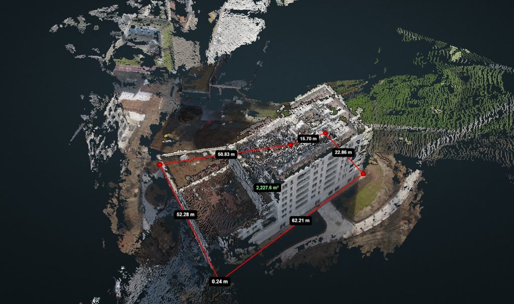
Our services go far beyond capturing aerial imagery. With our expertise in 3D scans and data analysis, you can rely on accurate results and scalable solutions. From volume calculations to inspections, our methods are designed to make your processes more efficient and effective.
Applications in Practice
- Construction and Infrastructure: Visualize your project site in detail with interactive 3D models. These models are ideal for documenting construction progress or analyzing complex structures.
- Agriculture: Use our orthomosaics to map crop health and soil conditions. This helps optimize yields and save costs.
- Heritage Management: Preserve historical sites with detailed 3D models. This technology not only aids conservation but also provides a powerful way to present heritage digitally.
- Environment and Nature Management: Analyze landscape changes, drainage patterns, and erosion. Our tools provide the insights you need to work sustainably and tackle ecological challenges.
What Makes DroneView.be Unique?
At DroneView.be, we combine innovative technology with a client-focused approach. Our solutions are not only accurate but also practical and easy to integrate into your workflows. Whether you’re managing a construction project, analyzing farmland, or documenting historical sites, we have the tools and expertise to make your work easier and better.
Start Today
Curious about how our 3D scans and analysis capabilities can benefit you? Contact us for a free consultation. We’re ready to answer your questions and provide a demonstration. Your projects deserve the best possible support – and that’s exactly what we offer.
Want to get started with WebODM yourself? Read our step-by-step tutorial and discover how to easily process aerial images into valuable insights in this article.