Drone deployed for missing dog search

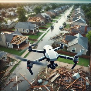
At DroneView.be, we usually use our drones for inspections and analyses, but sometimes, we receive unusual requests. Recently, we were called in to assist in the search for a missing dog.

The dog had been missing for 48 hours, and the owner had tried everything to find it. After two days of unsuccessful searching, they decided to use a drone to expand the search area and improve their chances. Thanks to our specialized drones and experience in detecting hard-to-spot objects, we were able to systematically scan the area.

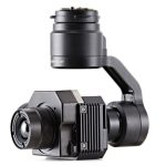
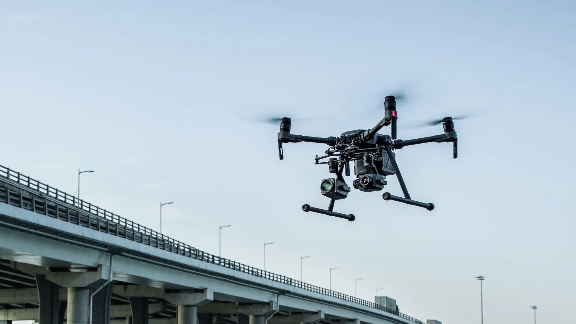
Our drone with a thermal imaging camera proved invaluable. In wooded or hard-to-reach areas, a drone can quickly cover a large space and detect heat sources invisible to the naked eye.

Continue reading “Drone deployed for missing dog search”

Discover the Power of WebODM

Are you intrigued by drone mapping and wondering how to process aerial imagery into insightful data? WebODM is an open-source platform that makes processing and analyzing drone data accessible and efficient. Whether you’re working on construction projects, monitoring agricultural land, or documenting heritage sites, WebODM provides professional-grade results for a wide range of applications.

Applications of WebODM

3D Models
Generate highly detailed and interactive 3D models from drone imagery. This is ideal for visualizing project sites, conducting architectural analyses, and even heritage preservation.

  • Orthomosaic Maps
    Stitch together aerial images into precise orthomosaic maps for large-scale analysis in industries like agriculture, urban planning, and environmental monitoring.
  • Volume Calculations
    Accurately measure material volumes, such as soil or debris, which is invaluable for mining and construction projects.
  • Analysis and Inspections
    Identify potential issues such as erosion, infrastructure damage, or drainage problems with WebODM’s analytical tools.

Continue reading “Discover the Power of WebODM”

Transform Your Projects with 3D Scans and Data Analysis from DroneView.be

The world of project planning and inspection is evolving rapidly. Thanks to advanced technologies, we can now collect and visualize data in ways that were previously unimaginable. At DroneView.be, we leverage these innovations to provide you with detailed insights that elevate your projects to the next level.

Why Choose 3D Scans and Advanced Analysis?

Our services go far beyond capturing aerial imagery. With our expertise in 3D scans and data analysis, you can rely on accurate results and scalable solutions. From volume calculations to inspections, our methods are designed to make your processes more efficient and effective.

Continue reading “Transform Your Projects with 3D Scans and Data Analysis from DroneView.be”

World Record Attempt Tesla Light Show at DronePort Sint-Truiden: A Spectacle with Over 1,000 Teslas?


On February 23, the runway of DronePort in Sint-Truiden will host an impressive attempt to break the world record for the Tesla Light Show. The goal? To gather at least 1,000 Teslas for a perfectly synchronized light show, combined with a spectacular drone display. This event is organized by the Tesla Owners Clubs of Belgium and the Netherlands, in collaboration with DronePort and Electrify Europe.

A unique light show with a sustainable theme
The light show is programmed by renowned light artist Simon Pollock. According to co-organizer Sven Van Passel, owner of Electrify Europe, it promises to be a true visual spectacle. “Each Tesla will receive a personalized USB stick, enabling the car to know exactly when to light up. This ensures a fully synchronized show, complemented by an impressive drone display. The overarching theme is sustainability and renewable energy.”

Continue reading “World Record Attempt Tesla Light Show at DronePort Sint-Truiden: A Spectacle with Over 1,000 Teslas?”

The Future of Drone Inspections: What Does AI Bring to the Sector?

The world of drone inspections is rapidly evolving thanks to the integration of artificial intelligence (AI). What started as a visual tool has transformed into advanced technology capable of complex analysis and automated decision-making. But what exactly does AI mean for the future of drone inspections?

Smarter Inspections with AI

AI not only makes drones smarter but also more efficient. With machine learning algorithms, drones can:

  • Automatically detect damage: AI can recognize patterns indicating cracks, corrosion, or other anomalies, even in hard-to-reach areas.
  • Analyze thermal images: AI interprets thermal imagery in real-time, quickly identifying issues like leaks or insulation faults.
  • Object recognition: Whether inspecting solar panels, wind turbines, or industrial pipelines, AI helps drones identify and analyze specific objects.

Saving Time and Costs

Thanks to AI, the inspection process becomes not only faster but also more accurate. Manual analysis is time-consuming and prone to errors, whereas AI-powered drones can process and interpret large volumes of data in no time. This saves companies both time and significant costs.

Continue reading “The Future of Drone Inspections: What Does AI Bring to the Sector?”

Why Drones Are Essential for Inspecting Storm and Hail Damage

Storms and hail can cause significant damage to buildings and infrastructure. From dislodged roof tiles to damaged solar panels and façades, it’s crucial to assess the damage quickly and accurately to prevent further issues. Traditional inspection methods can be time-consuming, costly, and even dangerous. Drones offer an innovative solution: fast, safe, and highly detailed.

Benefits of Drone Inspections for Storm Damage

  1. Safety First
    Inspecting roofs, façades, and other tall structures can be risky, especially if the damage has made the building unstable. Drones eliminate the need for ladders, scaffolding, and dangerous climbing. Inspections can be conducted entirely from a safe distance, even in hard-to-reach or hazardous areas.
  2. Fast and Efficient Damage Assessment
    While a manual inspection can take hours, a drone can survey a large area in just minutes. This is particularly valuable after storms that have affected multiple buildings, such as in residential neighborhoods or industrial sites.
  3. High Precision with Advanced Technology
    Drones equipped with high-quality cameras like the Zenmuse Z30 or thermal cameras such as the Zenmuse XT2 can detect even the smallest cracks, missing roof tiles, or hidden damage. Thermal images are particularly useful for identifying where water or cold air is seeping through the structure.

Continue reading “Why Drones Are Essential for Inspecting Storm and Hail Damage”

Innovative Applications of Drones in the Construction Sector

Drones are increasingly being utilized in the construction sector, offering a wide range of possibilities to improve safety, efficiency, and sustainability. Here are some of the key applications that could benefit your organization.

  1. Progress Monitoring and Project Documentation
    Drones are ideal for visually capturing the progress of construction projects and accurately maintaining project documentation. Regular aerial photos and videos allow project managers to monitor progress in an engaging way and share updates with all stakeholders. These drone images offer transparency and make it easier to detect potential issues early, helping the construction process run more smoothly.

Continue reading “Innovative Applications of Drones in the Construction Sector”

The Power of Drone Photography in Belgium: A New Dimension in Visual Experience

The rise of drone photography has permanently transformed how we capture and inspect the world. Whether it’s for real estate presentations, building inspections, thermal analyses, or event coverage, drones offer unique opportunities to create stunning aerial shots. In Belgium, the demand for professional drone photography is rapidly growing, creating opportunities for individuals and businesses alike.

What Makes Drone Photography Unique?

Drone photography provides a perspective that traditional methods simply can’t match. With our drones, we can effortlessly inspect tall buildings, map vast agricultural fields, or monitor the progress of construction projects. Thanks to advanced technologies like the Zenmuse XT for thermal imaging and the Zenmuse Z30 for detailed zoom, issues such as heat loss, defective solar panels, or structural damage can be identified quickly and efficiently.

Znmuse XT

Continue reading “The Power of Drone Photography in Belgium: A New Dimension in Visual Experience”